
Introducing Map Layer Editor

We've added a new way to work with your maps on Lupain.AI — the Layer Editor.
Before this update, organizations could only upload data using shapefiles. That approach worked well for complete datasets, but it made small edits or quick additions harder to do.
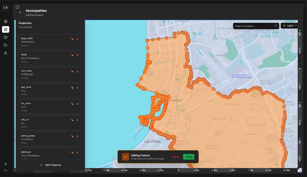
With the new Layer Editor, you can now create and edit map layers directly from your browser. It supports drawing polygons, lines, and points, and lets you add custom properties to each feature.
Building this tool took careful work to make sure it stays stable even with large datasets and real-time changes. It’s part of our goal to make geospatial data easier to manage and update, without needing specialized software.
If you have an organization account, you can try it now at https://lupain.ai.
Work With Lupain.AI
If you’re passionate about maps, data, and public service, we’d love to meet you.
We’re always looking for people who care about building tools that make information clearer and more useful for everyone.
See our open roles at blog.lupain.ai/careers.