
Lupain.AI Introduced at the National Land Use Summit
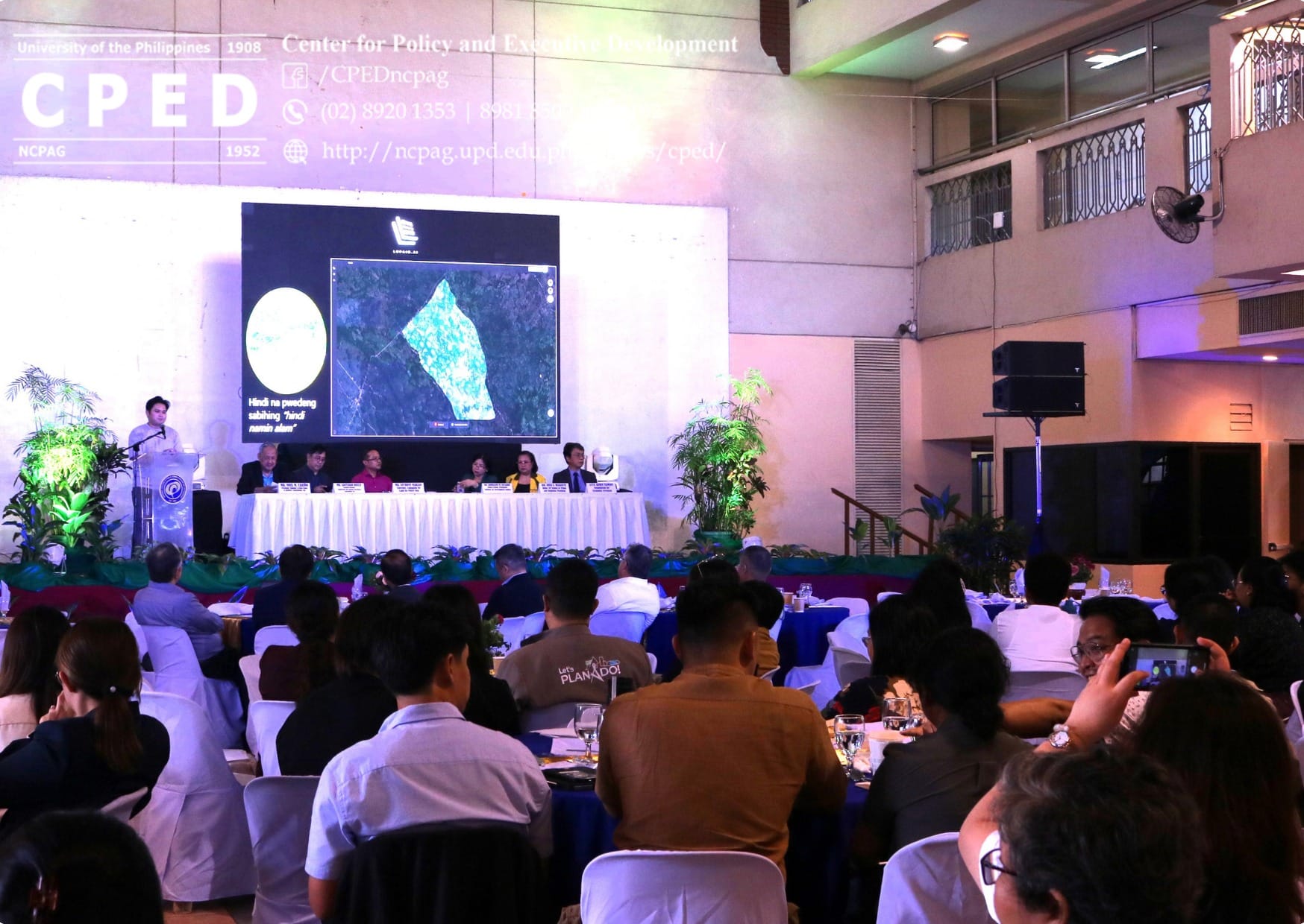
During the National Land Use Summit at UP Diliman, Mr. Aunell Ross introduced Lupain.AI, a new platform designed to help make smarter decisions about land use in the Philippines.
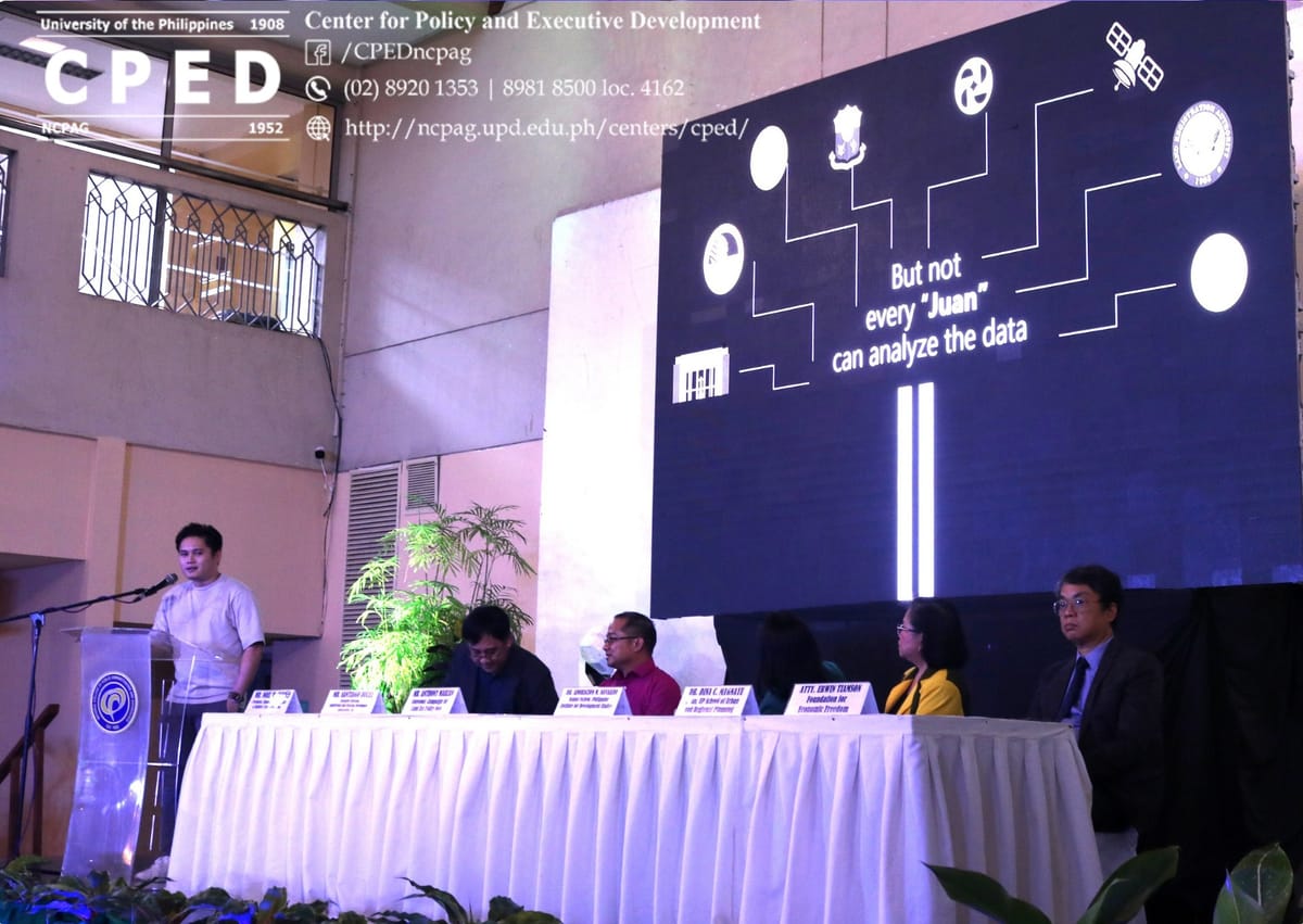
During the National Land Use Summit at UP Diliman, Mr. Aunell Ross introduced Lupain.AI, a new platform designed to help make smarter decisions about land use in the Philippines.
What is Lupain.AI?
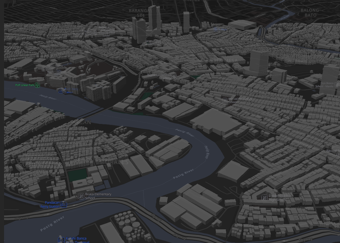
Lupain.AI helps people and organizations understand land better through data and interactive maps.
It shows important information such as:
- Areas that are prone to flooding
- Locations near fault lines or other hazards
- Places that are ideal for solar energy
By using these insights, local governments, planners, and citizens can plan safer and more sustainable projects.\
Why It Matters
Land is one of our country’s most valuable resources.
With better land data, we can:
- Protect communities from natural disasters
- Plan better housing and infrastructure
- Use our resources more wisely
Lupain.AI makes this information simple and accessible, so anyone can make informed decisions about land.
Be Part of the Change
Lupain.AI is currently in its beta version, and we’re inviting early users to try it out.
Sign up here to get early access:
www.lupain.ai/landing
Together, let’s build a smarter, safer, and more sustainable future for land use in the Philippines.